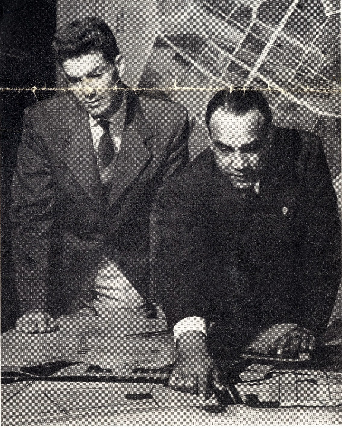
In the top image, which was published by the American Institute of Architects-New Orleans Chapter in January 1954, planners J.B. Rouzie (left) and Louis G. Bisso (right), point towards the Lakefront Airport area, located in the Third Municipal District. Bisso, then the director-secretary of the City Planning and Zoning Commission, advocated for "comprehensive rehabilitation" of neighborhoods and the discontinuation of "checkerboard" planning:
"In these days when the word 'planner' seems to be associated in some quarters with oppressive control and general loss of freedom, I believe we should never forego an opportunity to assert a rational point of view. Design must precede construction. A general design for the city must precede specific designs for improvements. I am not alone in believing that a general design for the future can be achieved in American cities, that such a design will be followed with relatively few deviations, and that its substantive effect will be a vast improvement in the conditions of life for our future population."(1)
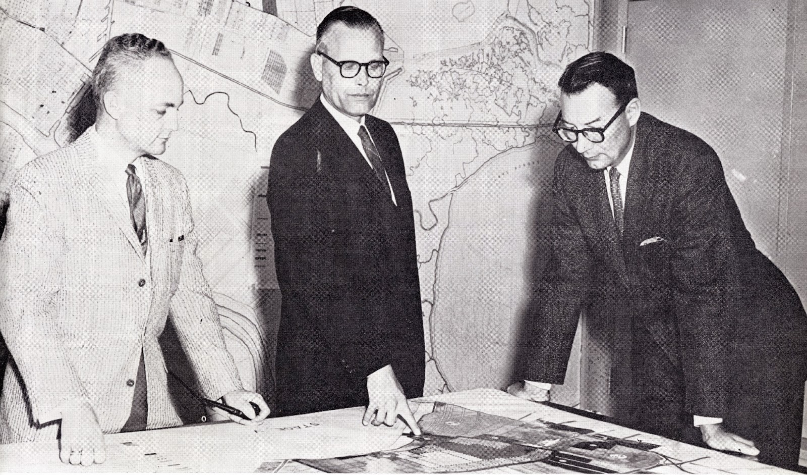
After 22 years with the Commission, Bisso resigned in the late 1950s. Charles F. O'Doniel, Jr. (bottom image, center) filled the vacancy. Mayor "Chep" Morrison's 1958-59 report featured this picture above the caption, "THE SHAPE OF THINGS TO COME." O'Doniel stands with his chief assistants, Jack Different (left) and Stuart H. Brehm, Jr. (right) , directing his attention towards the Second Municipal District. In 1958, the Commission processed nearly 40 zoning petitions for changes in zoning classification and reviewed or acted upon nearly 300 subdivision proposals. It adopted a street plan for the area of the city bounded by Paris Road, Lake Pontchartrain and the Intercoastal Canal, and it began to consider the proposal to build a $40 million elevated expressway through the French Quarter.
Images above:
Top: "Planners at Work." The American Institute of Architects - New Orleans Chapter Bulletin I:1 (January 1954): p. 1.
Bottom: "THE SHAPE OF THINGS TO COME." Annual Report of the Mayor. City of New Orleans. 1958-1959: n.p.
(1) "City Planning Philosophy Outlined by Official." The American Institute of Architects - New Orleans Chapter Bulletin I:1 (January 1954): pp. 1, 4, 7.
No comments:
Post a Comment